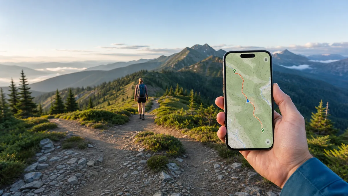
Among the reviews analyzed, Hiking Project's most consistent strength is free offline functionality: many hikers report that downloaded state maps plus GPS kept them on trail without cell service, something competitors often paywall. Users also repeatedly praise the map-first interface, detailed elevation profiles, and trail discovery in well-covered regions like Colorado and national parks. The most persistent criticisms concern uneven trail coverage — excellent in some states, nearly empty in others and abroad — plus unreliable hike recording, weak search and filtering, and recurring login friction that has intensified since the onX integration, with some recent reviewers citing paywalled filters. Stability complaints (crashes, stuck screens, broken back button) appear across many app versions. Overall, reviewers position it as a strong free planning and orientation tool rather than a dependable all-in-one tracker.
What users like
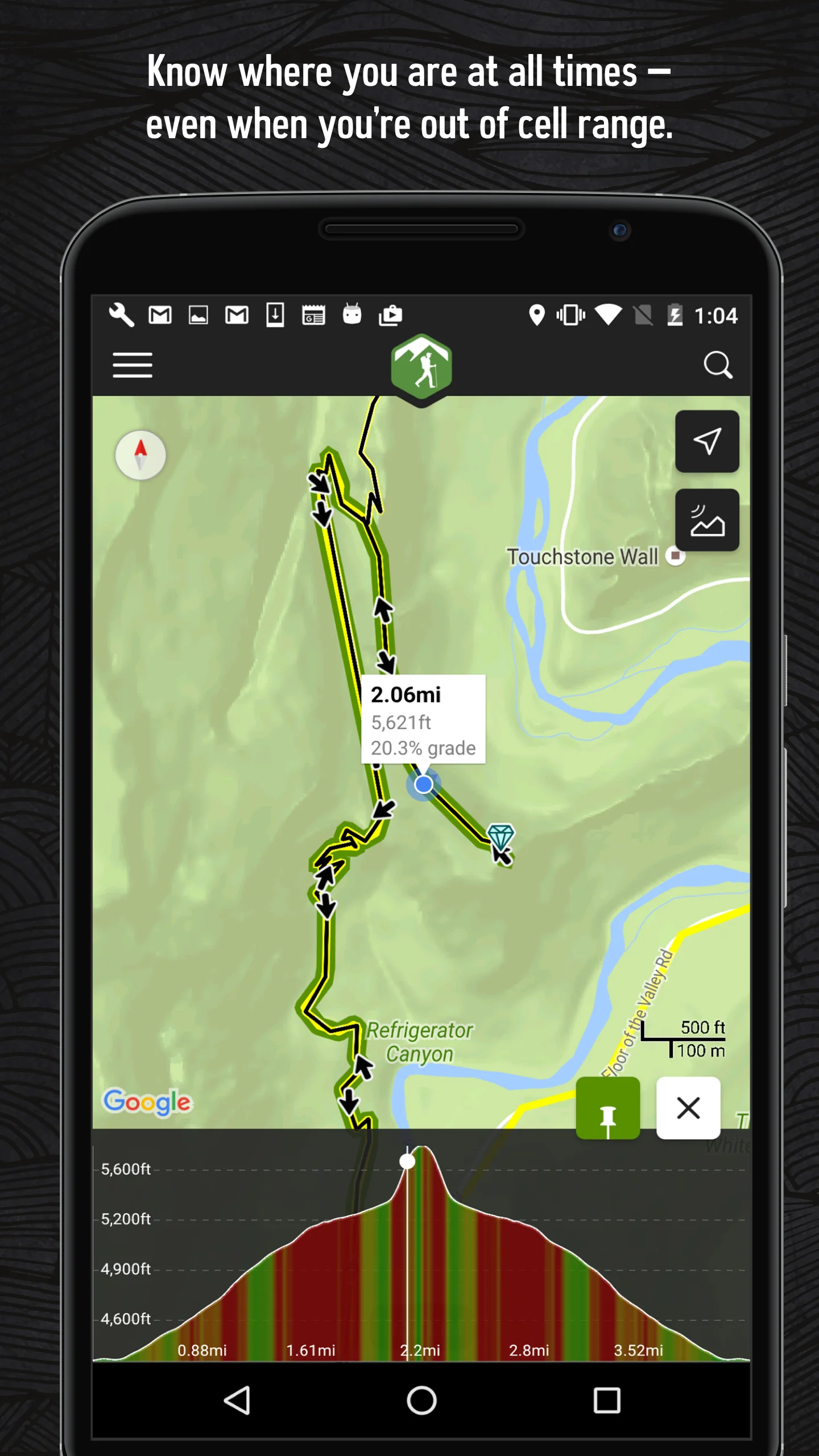
Free offline maps with GPS positioning The single most praised capability: users download state/region maps and report staying located on the trail with no cell service, even in airplane mode. Repeatedly contrasted with competitors that paywall offline use.
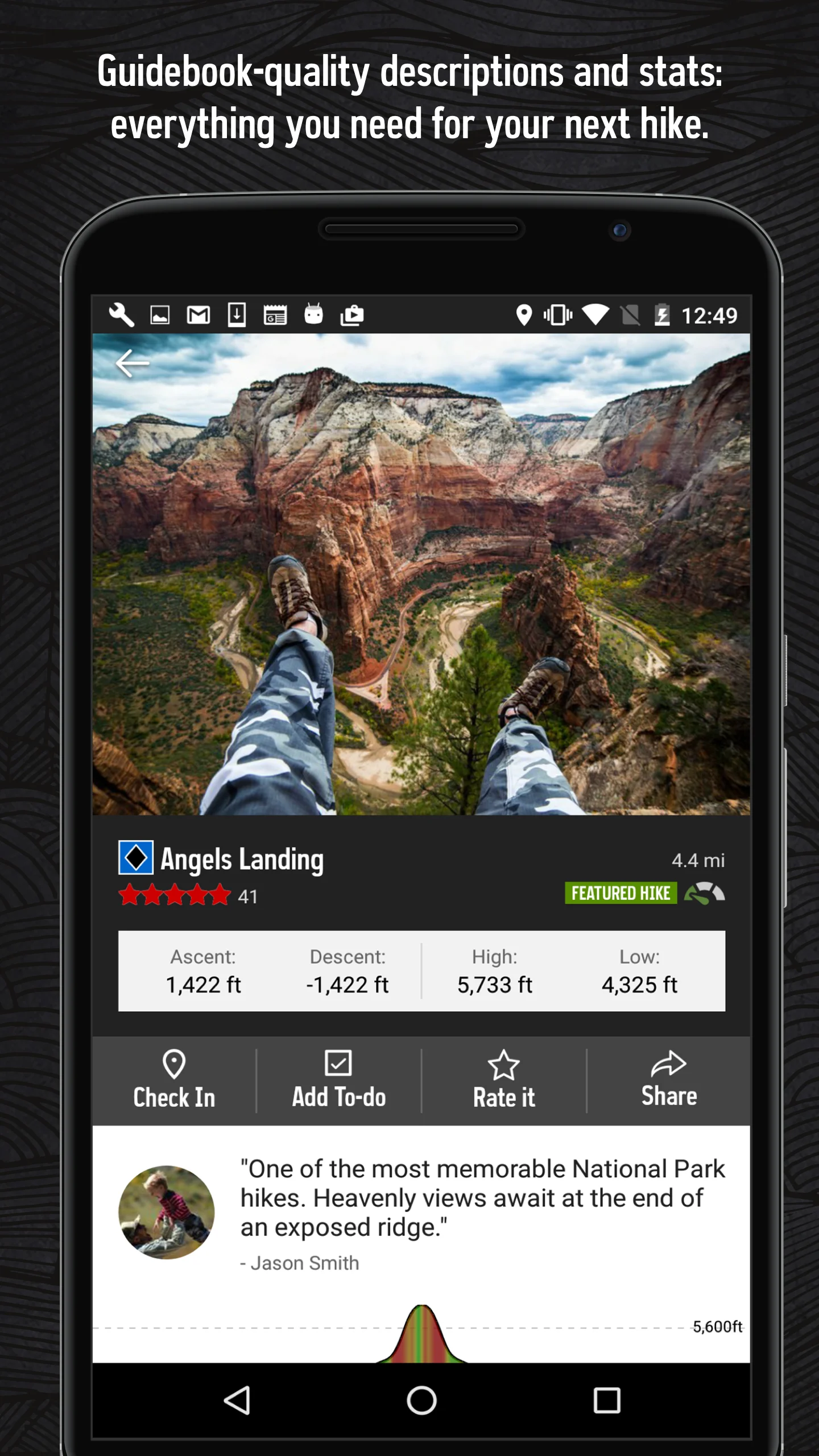
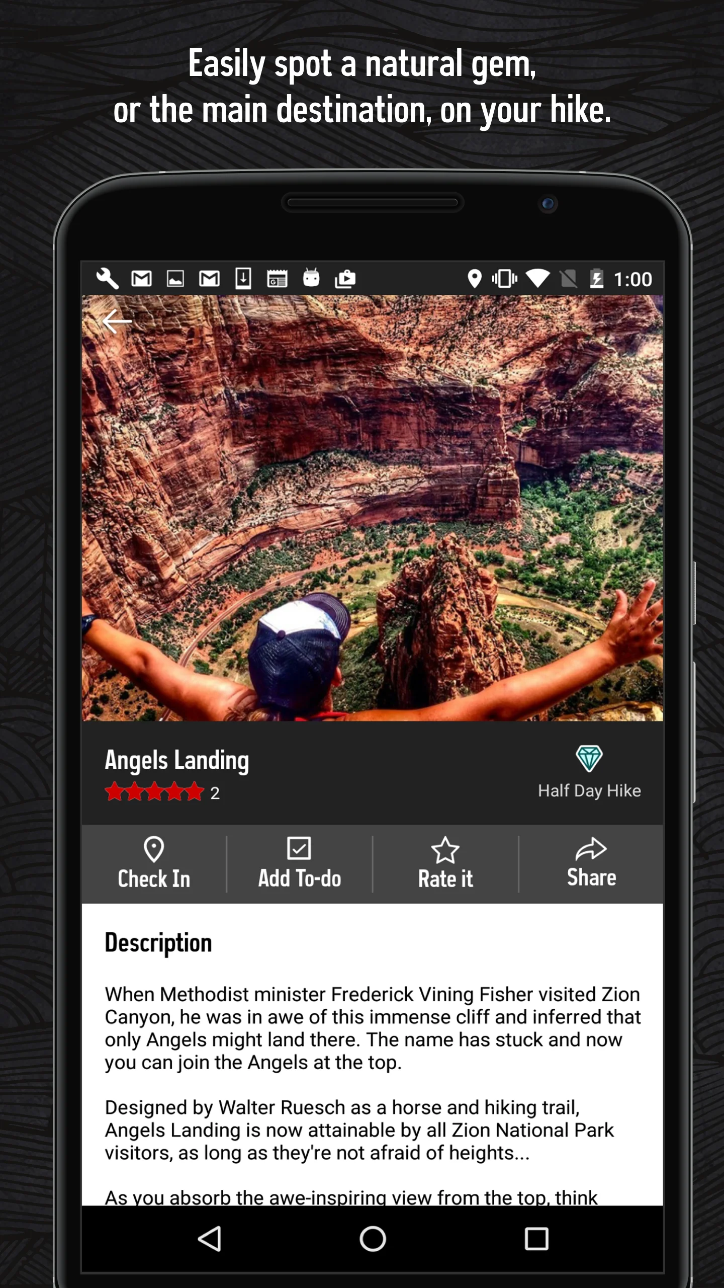
Detailed trail data and elevation profiles Users value elevation/grade profiles, distances, difficulty ratings, photos, and descriptions for planning hikes matched to their ability; tapping the elevation chart to see the map location is called out specifically.
On-trail orientation and getting un-lost Many hikers credit the app with keeping them on trail at confusing or overgrown junctions, including emergency situations; the 'blue dot' on a downloaded trail map is the core use case.
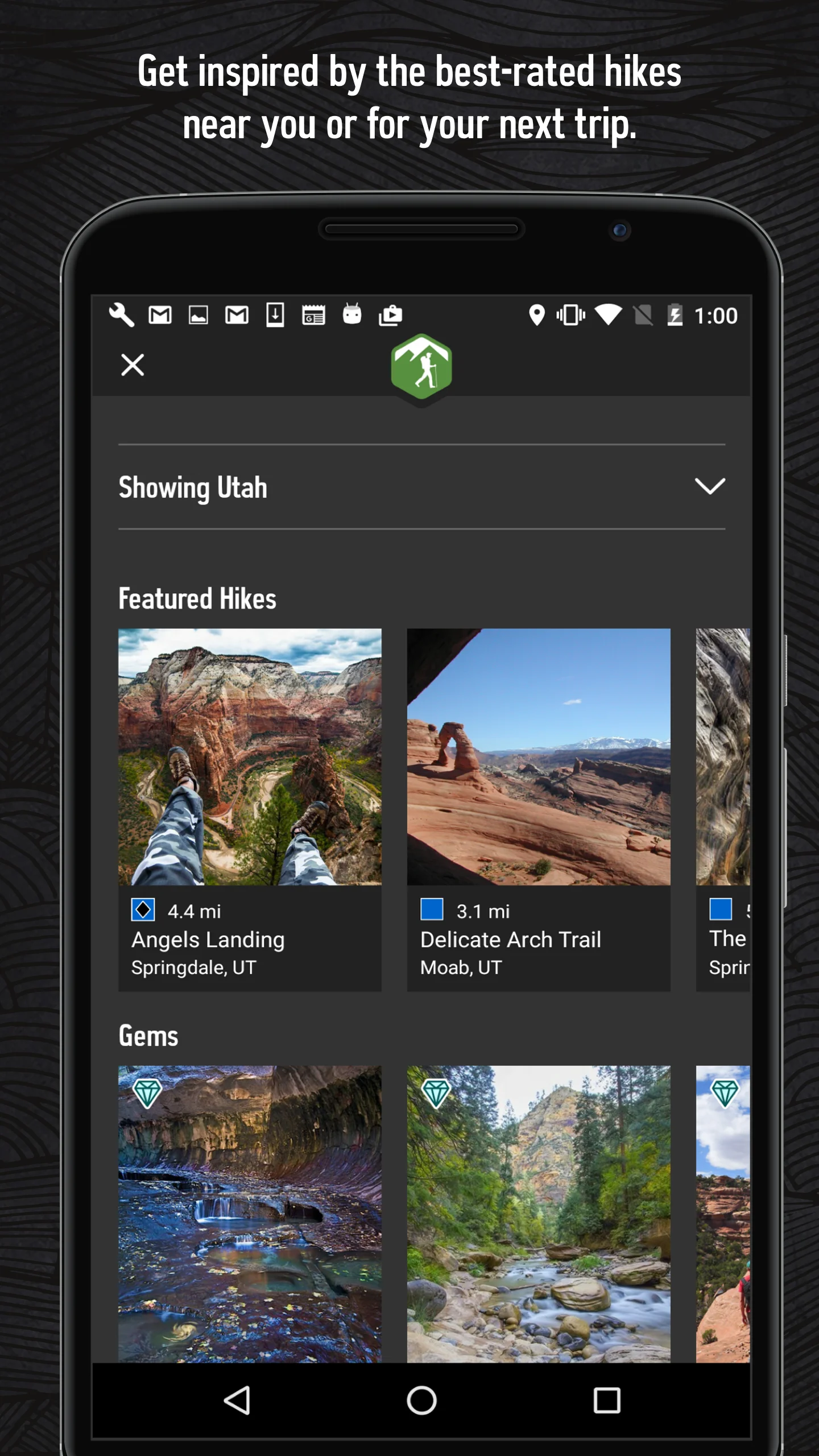
Trail discovery via map-first browsing Reviewers like opening a map of an unfamiliar area and seeing trails as lines (not just trailhead pins), finding 'gems' and trails they did not know existed, especially when traveling.
Common concerns
Incomplete and regionally uneven trail coverage The most frequent complaint across all star levels and all years (2016-2026). Coverage is praised in Colorado, Utah, Montana, and national parks but described as near-empty in states like PA, WV, NC, AK, AZ and most international regions (UK, Europe, India, Australia). Even 4-5 star reviewers cite it as the main drawback versus AllTrails.
Unreliable hike recording and GPS tracking Persistent reports of straight-line tracks, inflated distances (3 mi recorded as 11-12 mi), recordings that stop when the screen locks, zero-ascent readings, and saved recordings that vanish or no longer display on the map. Spanning 2018-2025, including recent versions.
Weak search and missing trail filters Users repeatedly request filtering by length, difficulty, elevation, dog-friendliness, etc., and report search returning irrelevant or zero results. Long the most-requested feature; a 2025 review claims filters now exist but sit behind a paywall.
Offline downloads failing for a significant minority Directly contradicting the app's core promise: downloaded areas not accessible off-network, downloads stalling (e.g., stuck at 33%), areas showing as outdated and refusing to update, and GPS position unavailable offline. Polarizes against the many positive offline reports.
Based on 477 Google Play reviews · Updated Aug 17, 2026
Over the last 60 days, PixelTrack observed changes in estimated installs, rating, rating count and review count. The table compares the earliest recorded changed value with the latest observation.
Metric
Earlier value
Latest value
Change
Latest change
Estimated installs
492,066
494,724
+2,658
Oct 3, 2026
Rating
3.69
3.66
-0.03
Sep 18, 2026
Rating count
1,610
1,614
+4
Sep 26, 2026
Review count
732
732
0
Sep 22, 2026
Hiking Project Changelog
1 change
↑
Version 26.29.0 Update
What’s new
- Fixed crash related to maps memory
- Maintenance