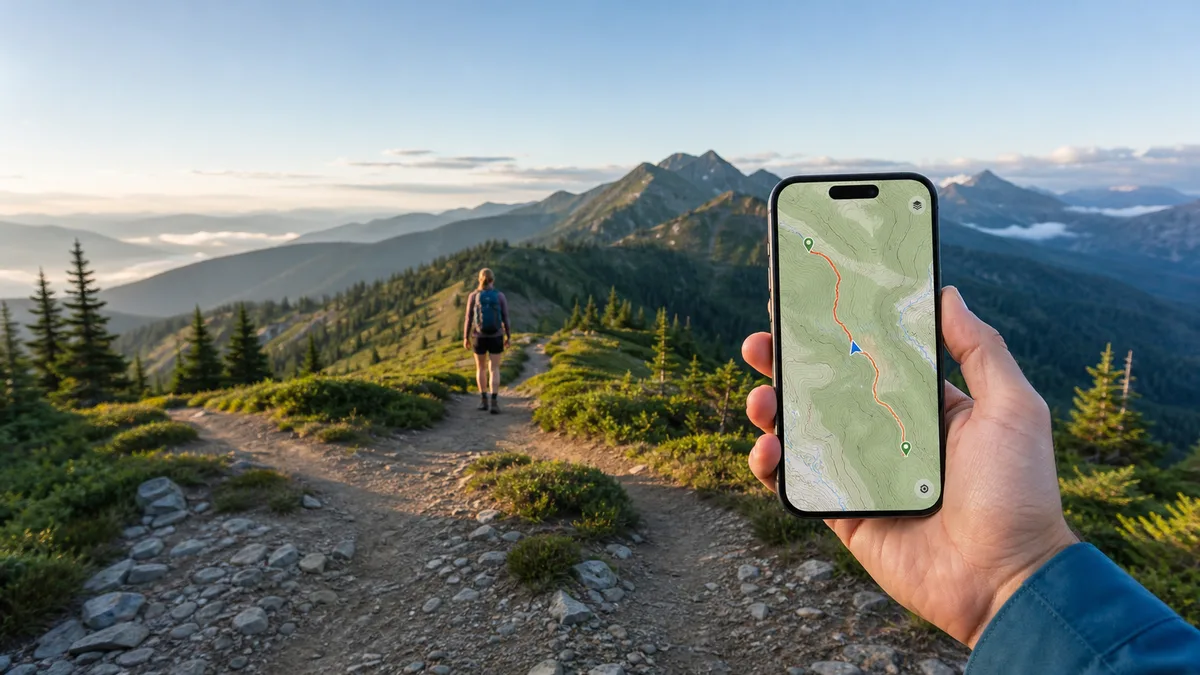
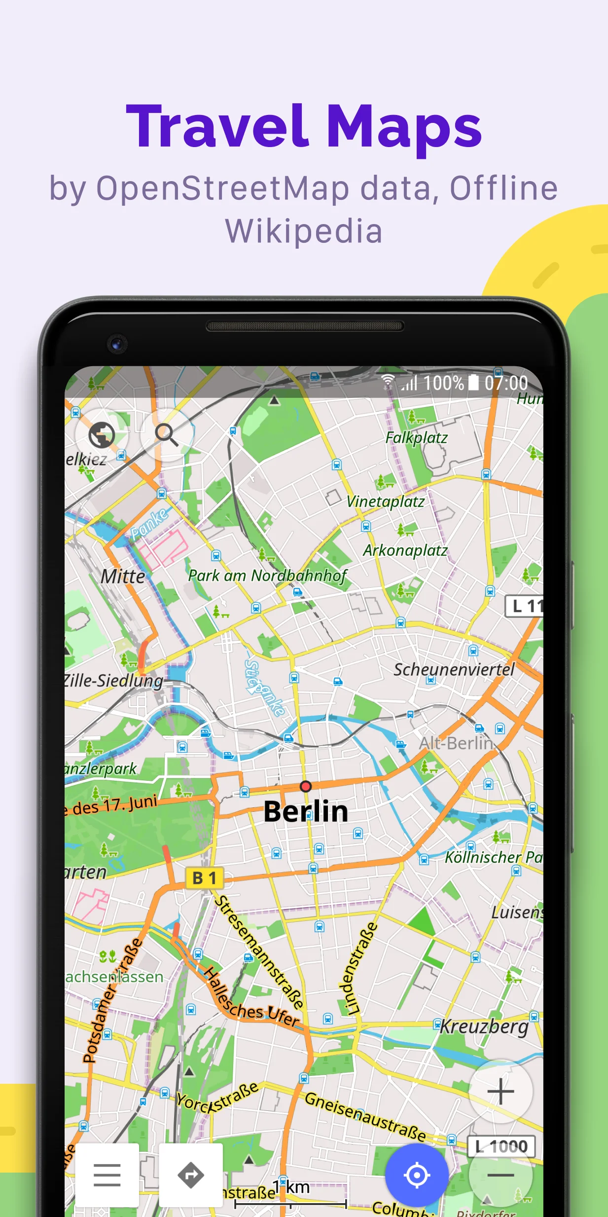
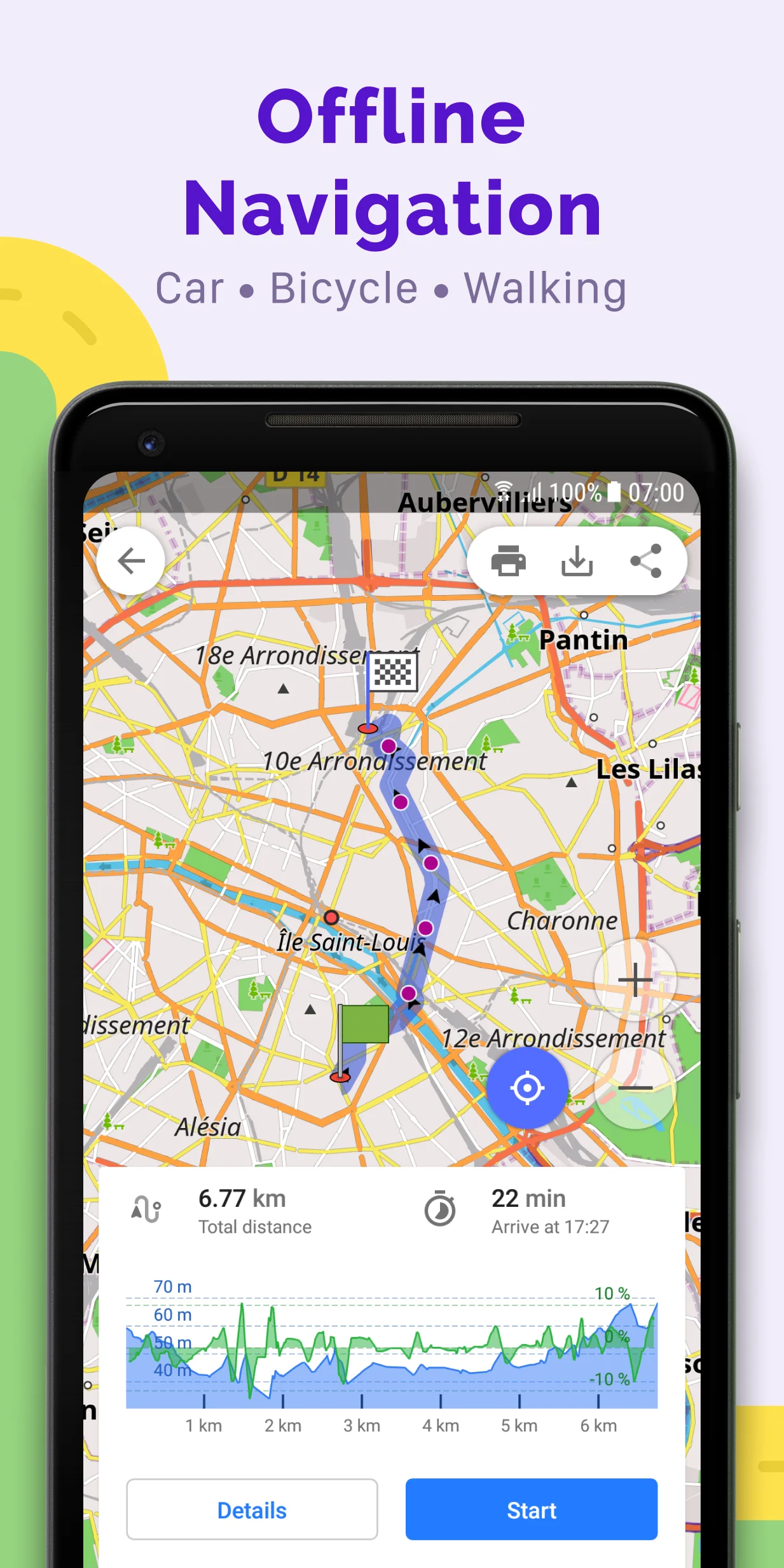
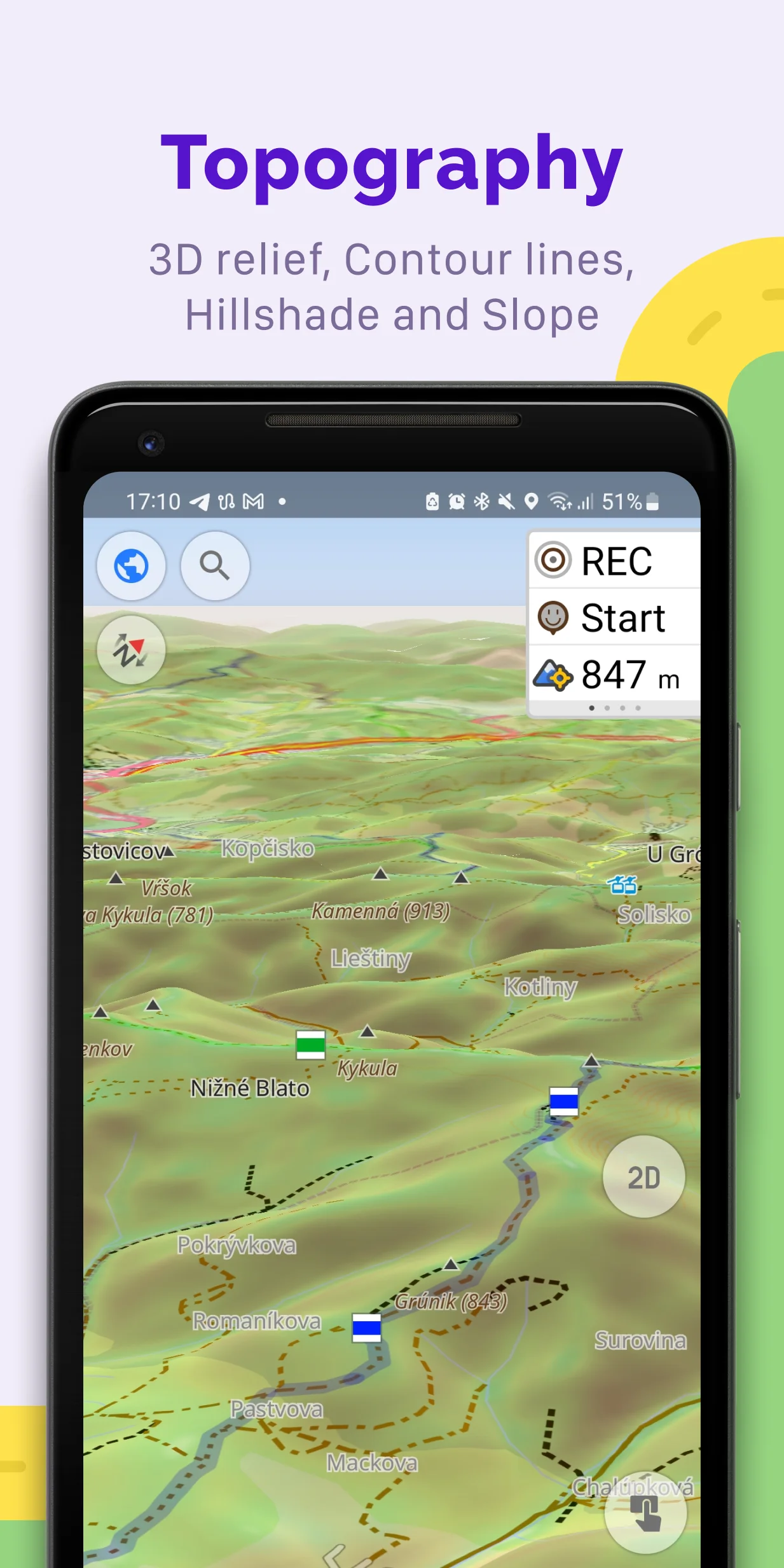
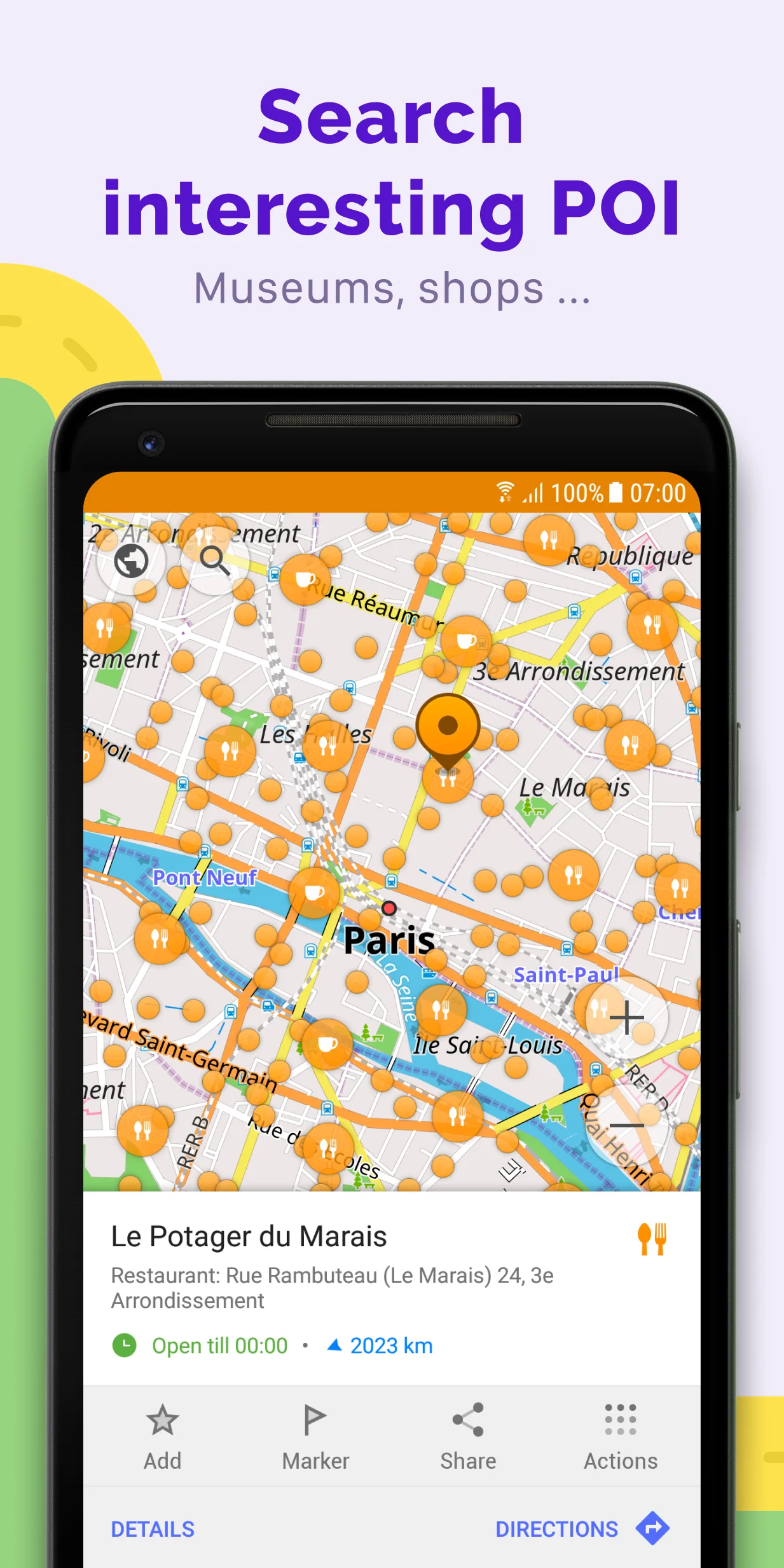
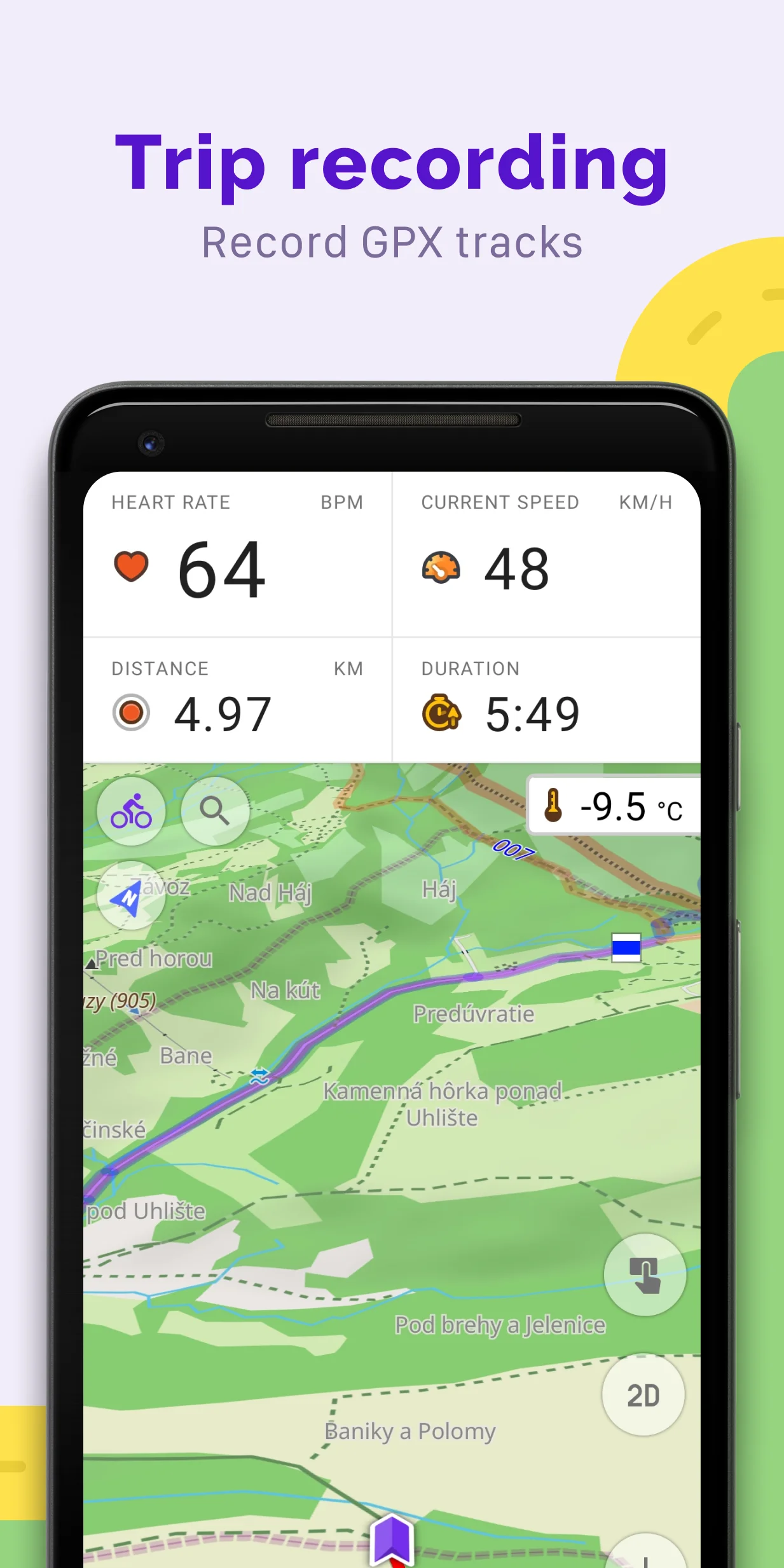
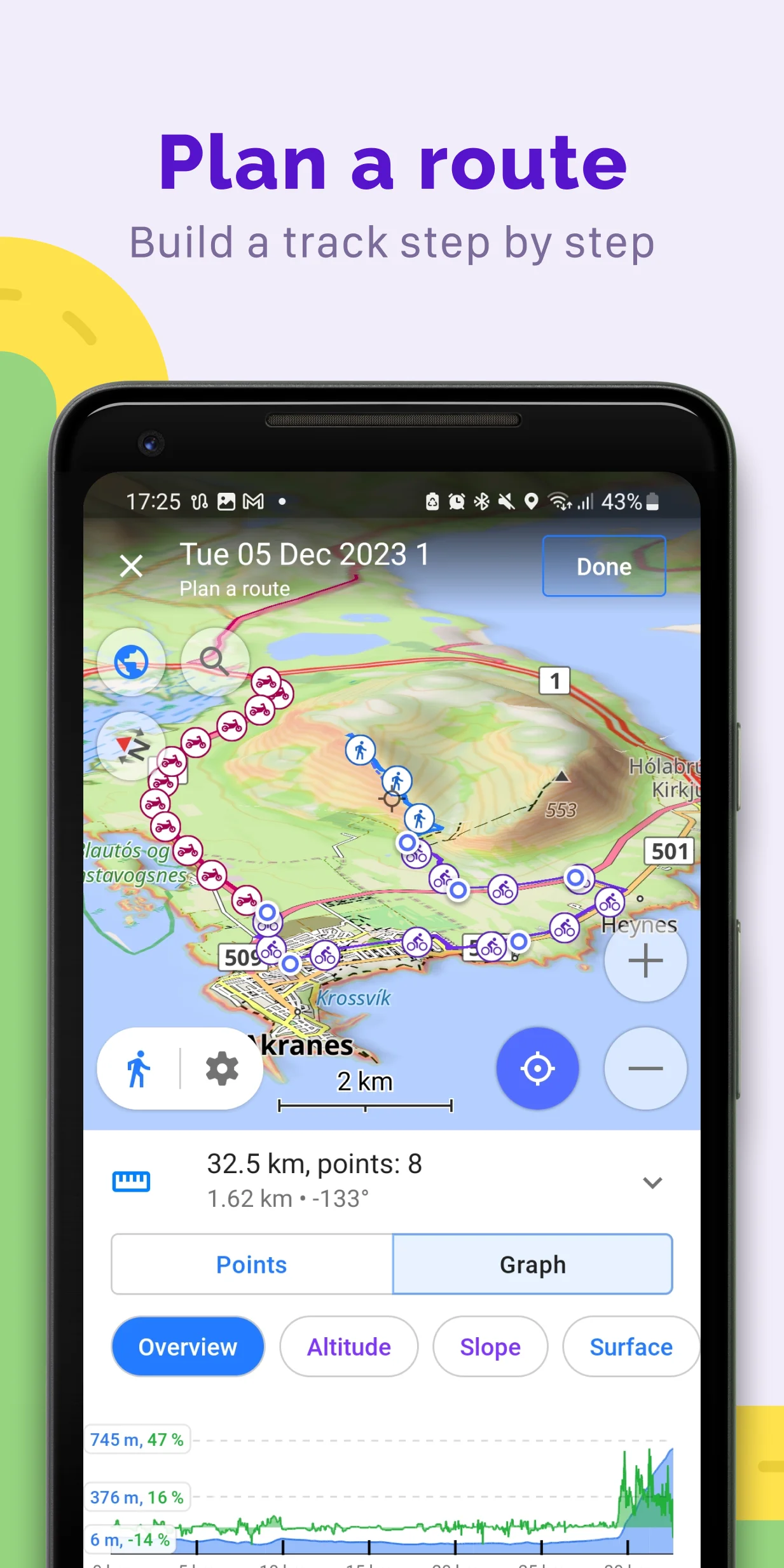
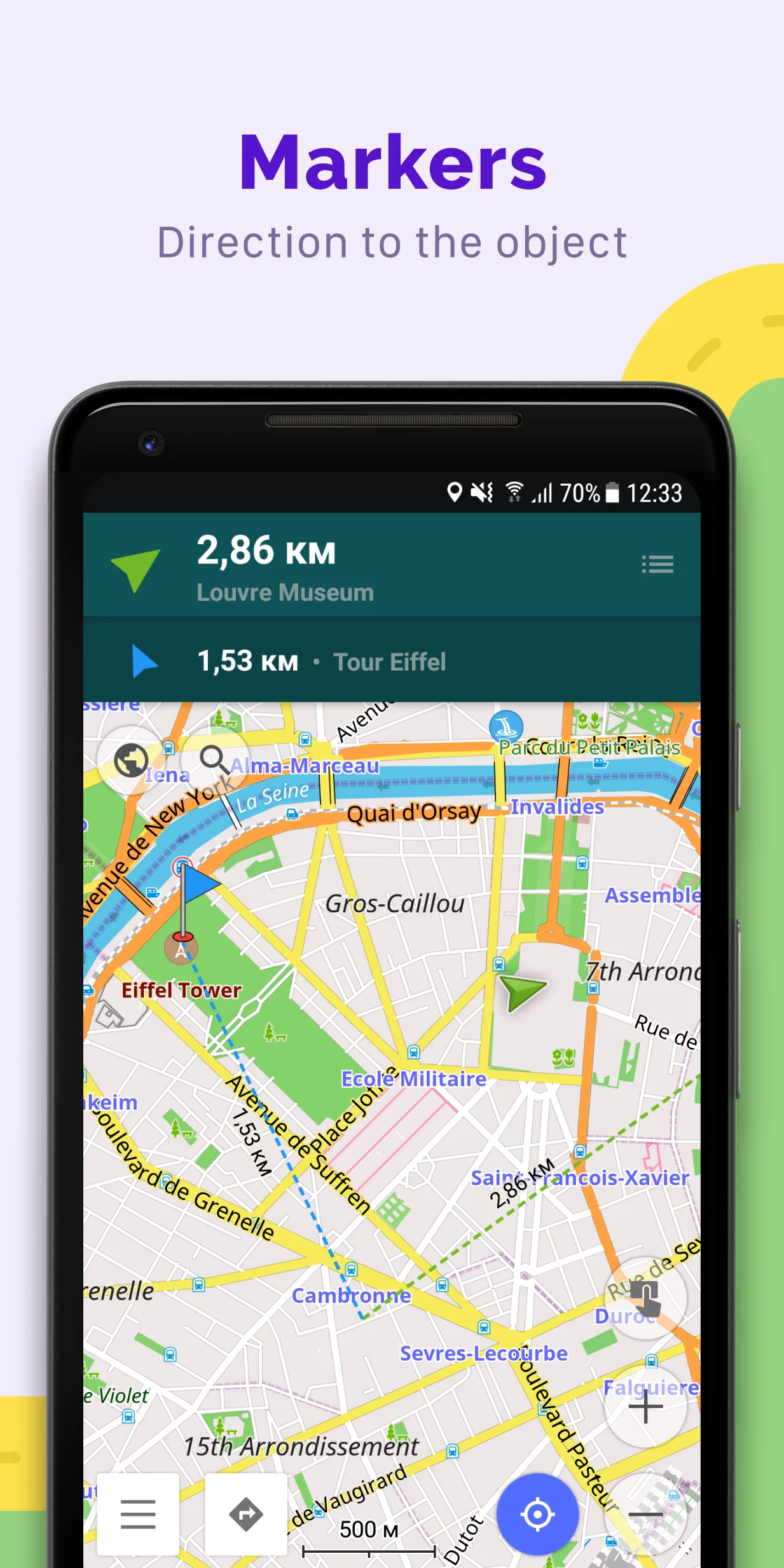
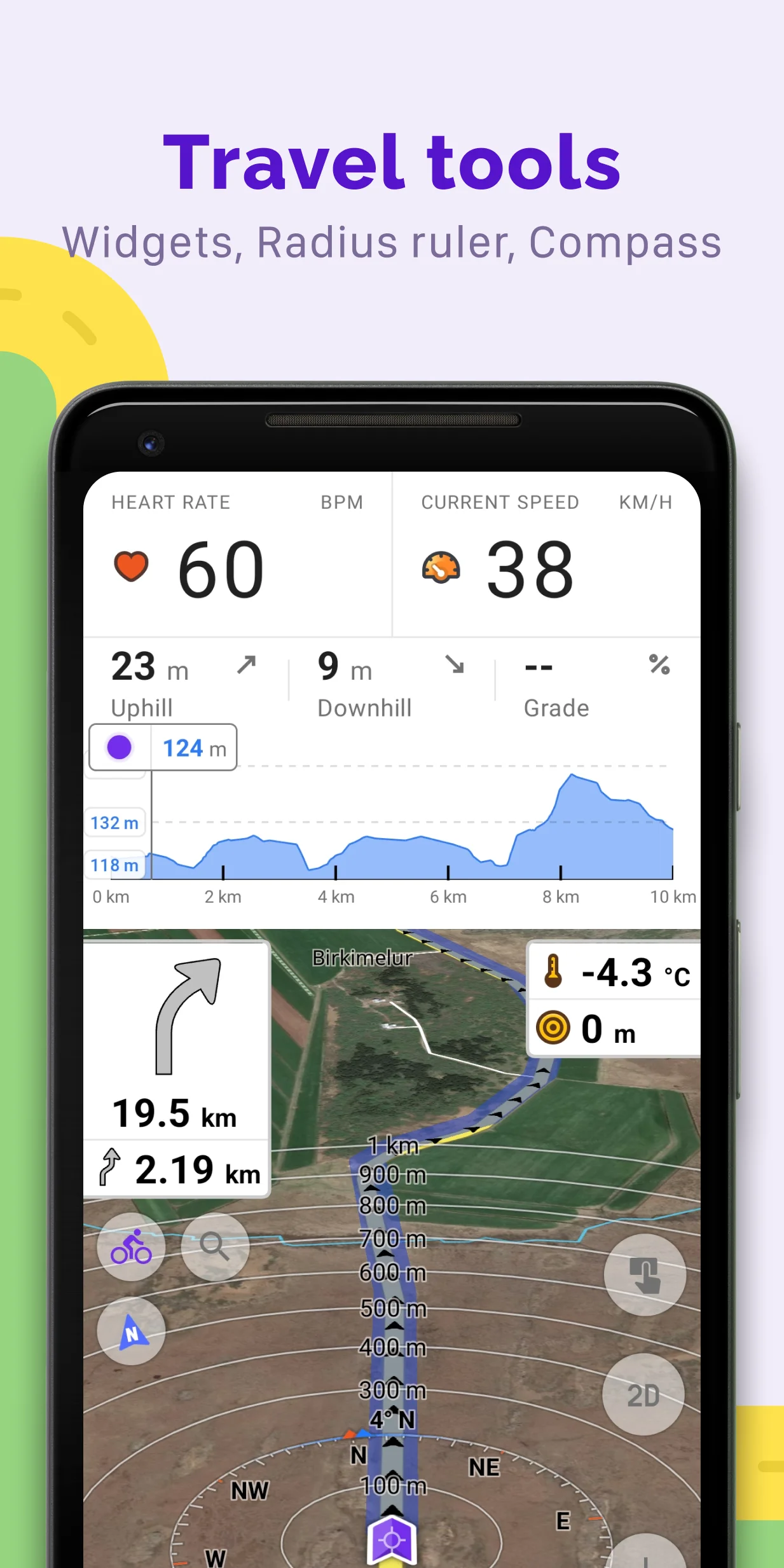
Among the reviews analyzed, OsmAnd earns its strongest praise as an offline-first navigation tool: hikers, cyclists, motorcyclists, and overlanders repeatedly credit its detailed OpenStreetMap trail data, contour overlays, and GPX track support for trips beyond cell coverage. Reviewers also value its deep customization, vehicle profiles, and privacy-respecting, ad-free model. The most persistent criticism targets search—many users report missing house numbers, postcodes, and businesses, forcing workarounds like dropping pins or cross-referencing Google Maps. A steep learning curve and cluttered menus frustrate newcomers, while the seven-download free limit and the Android Auto paywall draw recurring complaints about monetization. Routing quirks—wrong roundabout exits, late voice prompts, slow long-distance calculation—plus battery drain and occasional crashes appear often enough to note. OsmAnd suits patient, tech-comfortable outdoor users more than casual drivers seeking a plug-and-play Google Maps replacement.
What users like
Reliable offline maps and navigation The most consistent praise across the sample: users navigate fully offline in areas with no cell coverage, from backcountry trails to foreign countries, and describe the app as a dependable off-grid companion once maps are downloaded.
Superior trail and terrain detail from OpenStreetMap Hikers, mountain bikers, and cyclists repeatedly note footpaths, MTB trails, field boundaries, and small roads that Google Maps lacks; contour lines, hillshades, and topo overlays reinforce its outdoor credibility.
Deep customization and feature breadth Reviewers value the huge range of options: per-activity profiles, map styles, overlays, vehicle dimensions/speed limits, moped and motorcycle modes, and configurable voice guidance, often calling it the most powerful navigation app they have tried.
GPX import, recording, and track following Many users plan routes on desktop tools, import GPX files, and get turn-by-turn guidance along them, or record tracks as breadcrumb logs; several call it the best GPX track tool they have used for biking and motorcycling.
Common concerns
Address and place search is unreliable The single most frequent complaint: missing house numbers, UK postcodes, and businesses; a rigid city-then-street-then-number flow; and results from wrong cities. Many users say they must drop pins, use cross streets, or find the address in Google Maps first.
Free-tier map download limit and monetization frustrations The lifetime cap of about 7 downloads (with deletions not restoring slots and map updates consuming quota), countries split into many regional maps, Android Auto moved behind a subscription, and billing/refund disputes generate heavy criticism, especially in recent 1-2 star reviews.
Steep learning curve and cluttered, unintuitive UI Across all star buckets, users describe buried settings, confusing menus, and multi-tap flows for basic tasks like stopping navigation, adding favorites, or exporting GPX; even fans concede it takes days to learn.
Routing and voice guidance errors Recurring reports of wrong roundabout exits, late turn announcements, U-turn loops, preference for minor or unsuitable roads, routes to the wrong side of destinations, and excessive 'keep left/right' chatter; some describe routes as unsafe.
Based on 500 Google Play reviews · Updated Aug 17, 2026
Over the last 60 days, PixelTrack observed changes in estimated installs, rating, rating count and review count. The table compares the earliest recorded changed value with the latest observation.
Metric
Earlier value
Latest value
Change
Latest change
Estimated installs
15,242,390
15,261,647
+19,257
Aug 18, 2026
Rating
4.55
4.54
-0.01
Aug 19, 2026
Rating count
247,581
247,803
+222
Aug 19, 2026
Review count
3,175
3,177
+2
Aug 19, 2026
OsmAnd — Maps & GPS Offline Changelog
0 changes
No changes detected yetThe first successful check creates a baseline. Future changes will appear here automatically.